What is Resistivity Survey?
A resistivity survey is a geophysical method used to investigate subsurface properties by measuring the electrical resistivity of the ground. This technique is widely used for mapping geological structures, detecting groundwater, and environmental studies.
Basic Principle
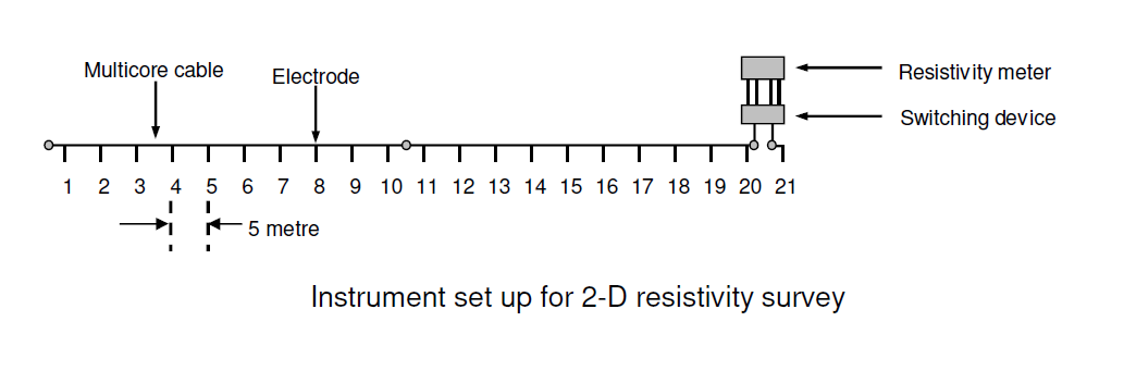
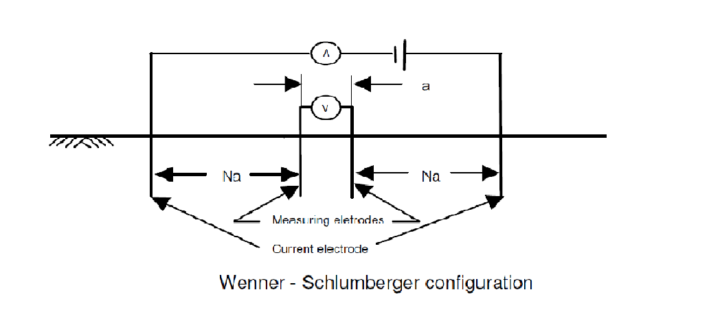
The resistivity survey method is based on injecting an electrical current into the ground using electrodes and measuring the resulting potential differences. The resistivity of subsurface materials affects how the current flows, revealing details about the underlying layers.
Key Components
- Current Electrodes: Inject electrical current into the ground.
- Potential Electrodes: Measure voltage differences.
- Resistivity Meter: Records and processes the electrical data.

Applications
Resistivity surveys are versatile and can be applied to various fields, including:
- Groundwater exploration
- Mapping subsurface layers and faults
- Environmental contamination studies
- Archaeological investigations
Advantages
- Non-invasive and environmentally friendly
- Provides detailed subsurface information
- Effective in identifying groundwater and geological anomalies
Limitations
- Interpretation requires skilled professionals
- Surface noise and infrastructure can affect results
- Limited depth penetration for high-resistivity materials