What is Parallel Seismic Survey?
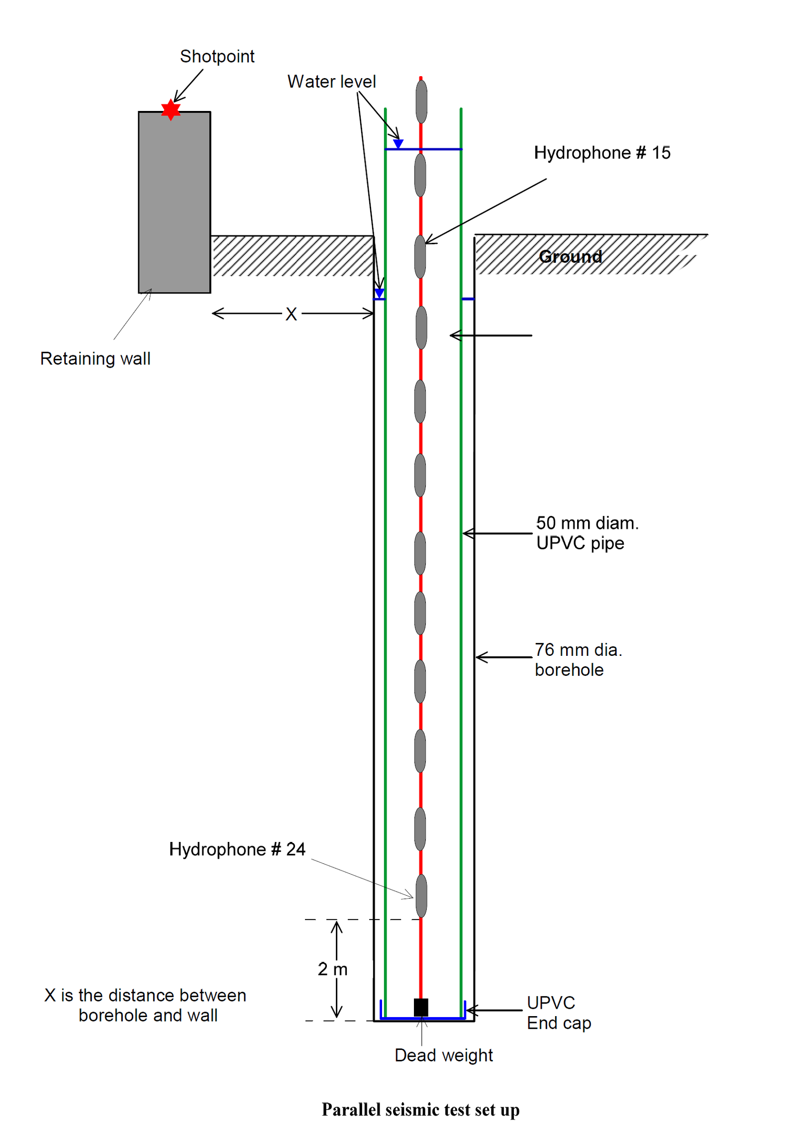
Parallel seismic surveying is a geophysical method primarily used to determine the depth and integrity of foundations such as piles or shafts. It involves measuring seismic waves generated at the surface and received at depth in a borehole adjacent to the foundation.
Basic Principle
A seismic source at the surface generates waves that travel through the foundation. The waves are picked up by a receiver lowered into a borehole parallel to the foundation. By analyzing the travel time of the waves, the depth and structural characteristics of the foundation can be evaluated.
Key Components
- Seismic Source: Produces seismic waves at the surface (e.g., hammer or vibrator).
- Receiver: Hydrophone or geophone lowered in the borehole.
- Recording Equipment: Captures waveforms and travel times for analysis.
Applications
Parallel seismic surveys are widely used in civil and geotechnical engineering. Typical applications include:
- Determining pile depth and integrity
- Assessing unknown foundation depths
- Evaluating structural conditions of buried elements
Advantages
- Non-invasive and requires no direct access to the foundation
- Can be used in areas with limited surface access
- Provides detailed depth and structural information
Limitations
- Requires a borehole close to the foundation
- Accuracy depends on borehole placement and alignment
- May be affected by subsurface noise and other interferences