What is Downhole Seismic Survey?
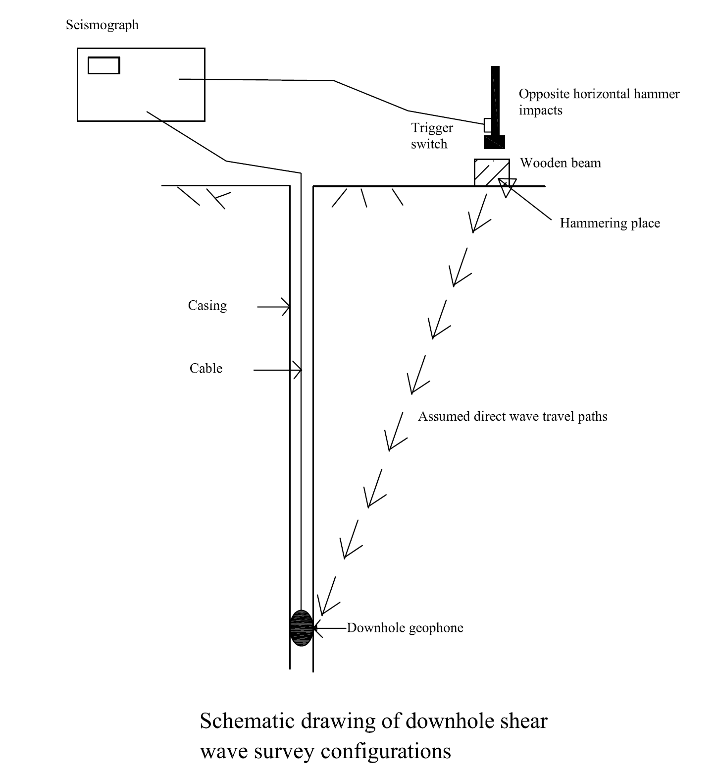
Downhole seismic surveying is a geophysical technique used to measure the seismic wave velocities of subsurface materials. It involves generating seismic waves at the surface and measuring their travel times at various depths within a borehole.
Basic Principle
The downhole seismic method relies on generating seismic waves, typically with a surface source, and recording the wave arrivals at geophones or other sensors lowered into a borehole. By analyzing the travel times and waveforms, the seismic velocities of the subsurface layers can be determined.
Key Components
- Seismic Source: Generates seismic waves, often using a hammer or vibrator.
- Borehole Geophones: Receivers placed at various depths in the borehole.
- Data Logger: Records the arrival times and waveforms of the seismic waves.
Applications
Downhole seismic surveys are commonly used in geotechnical engineering and site characterization. Typical applications include:
- Determining soil and rock stiffness
- Evaluating dynamic properties of subsurface layers
- Assessing earthquake site response
Advantages
- Provides accurate measurements of seismic wave velocities
- Applicable for various soil and rock conditions
- Useful for dynamic soil property evaluation
Limitations
- Requires a suitable borehole
- Depth of investigation is limited by borehole depth
- May be affected by borehole conditions such as casing and water levels